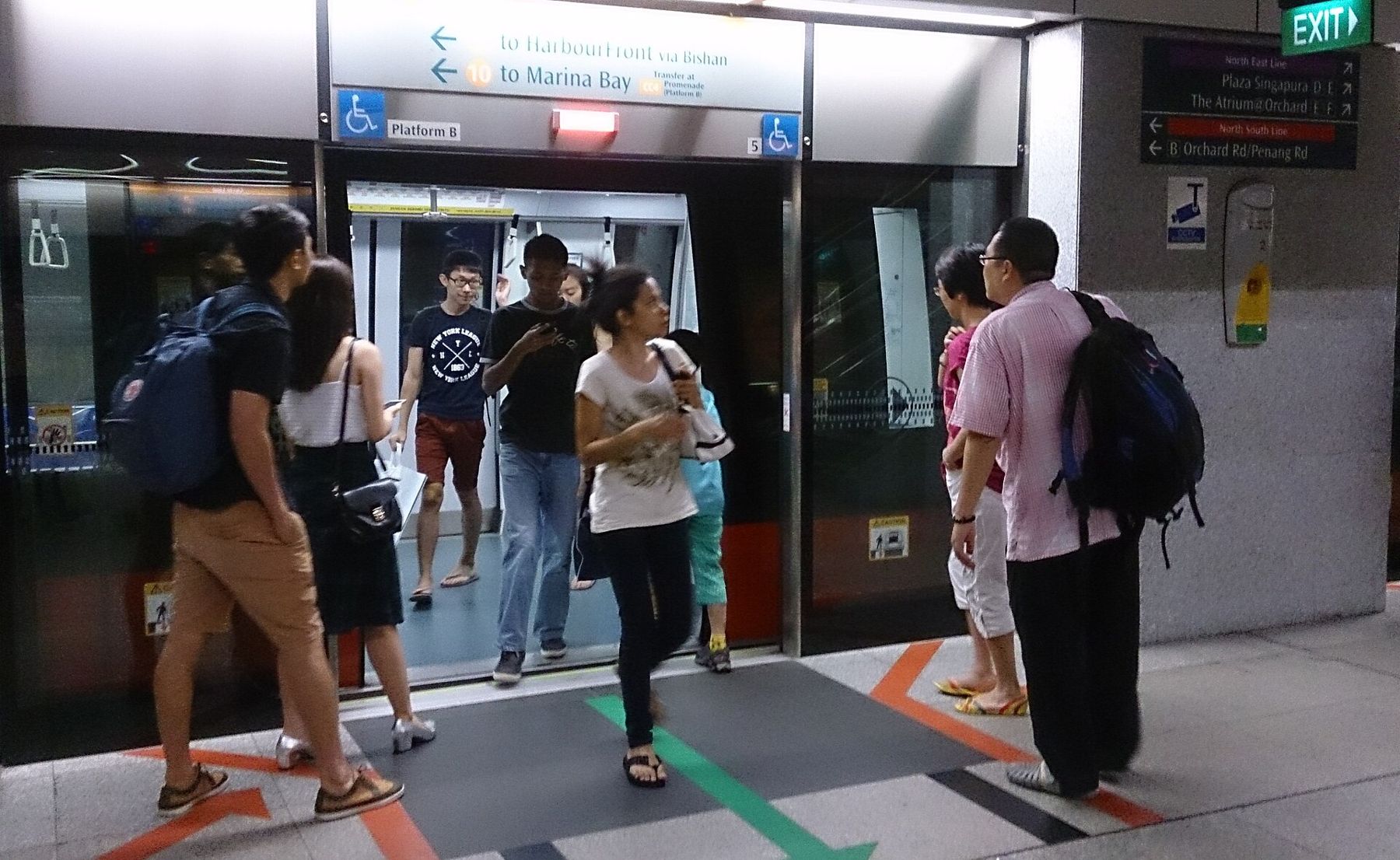
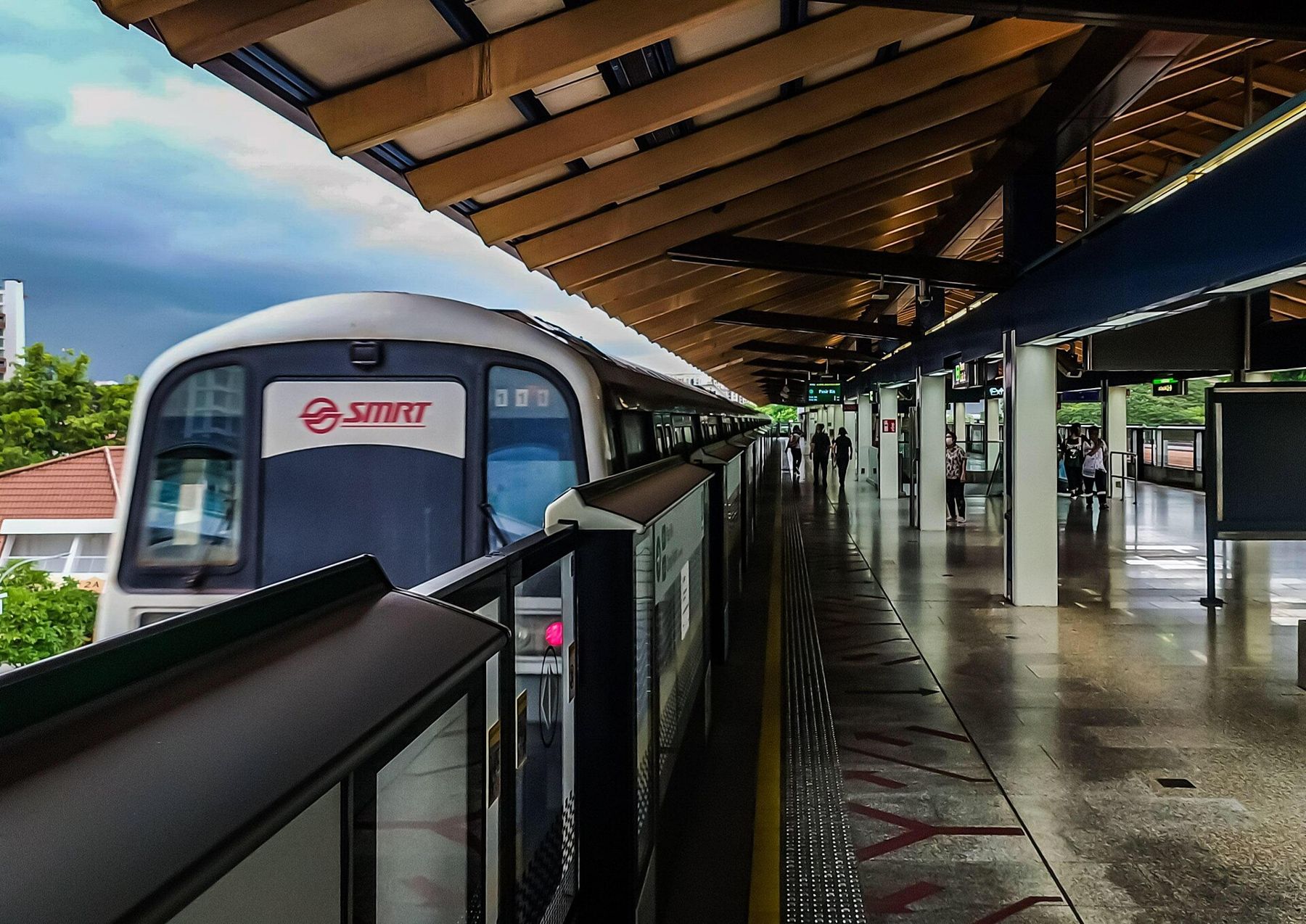
At Dhoby Ghaut in the evening the escalators run three storeys deep and nobody hurries on the left. Commuters stand to one side, walkers pass on the other, a chime sounds, the platform screen doors slide open and a train that arrived ninety seconds ago is replaced by another. Singapore is roughly 50 kilometres across, and most of it is within reach of a station like this one.
The island rewards a visitor who learns its transport early. Below are the questions people ask in their first hour, answered plainly.
How does the MRT fit together?
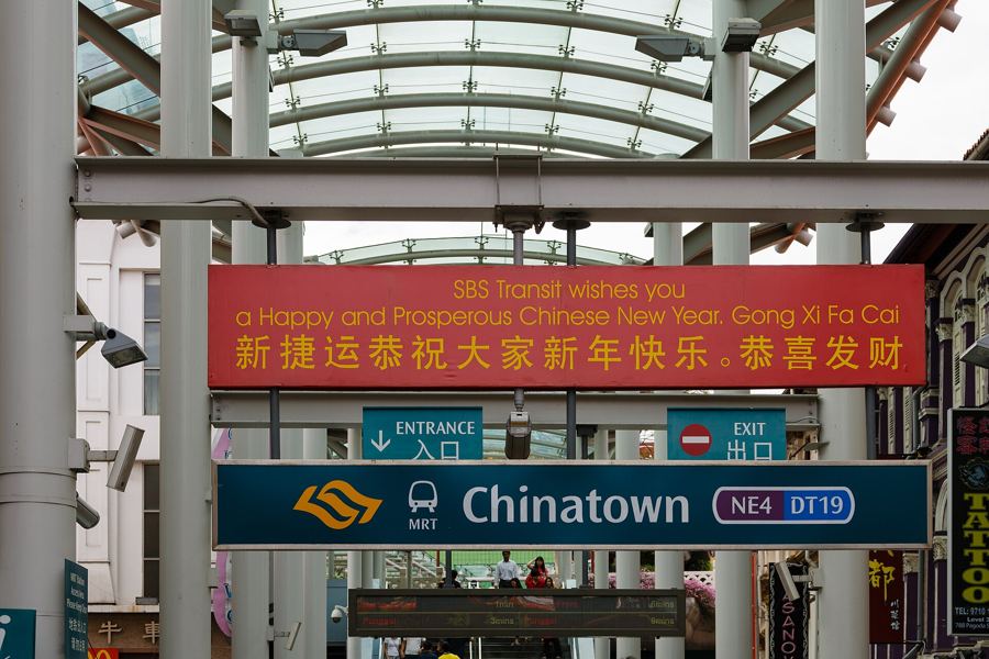
The Mass Rapid Transit is the spine. There are six main lines, each with a colour and a two-letter code: the North South Line in red (NS), the East West Line in green (EW), the North East Line in purple (NE), the Circle Line in orange (CC), the Downtown Line in blue (DT) and the Thomson-East Coast Line in brown (TE). Every station carries a code as well as a name, so Dhoby Ghaut is NS24, NE6 and CC1 at once, which is far easier to follow on a map than it sounds.
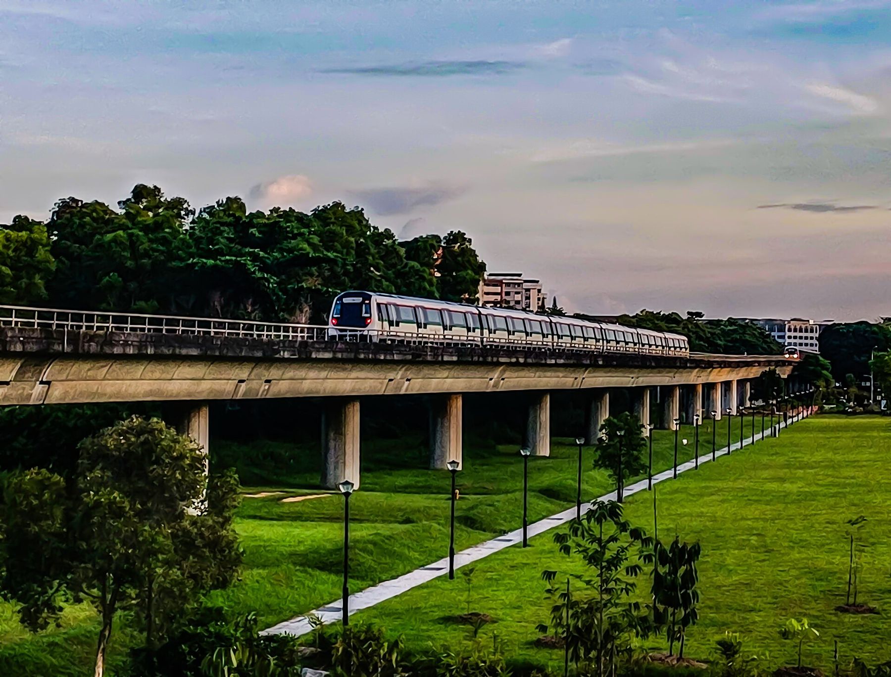
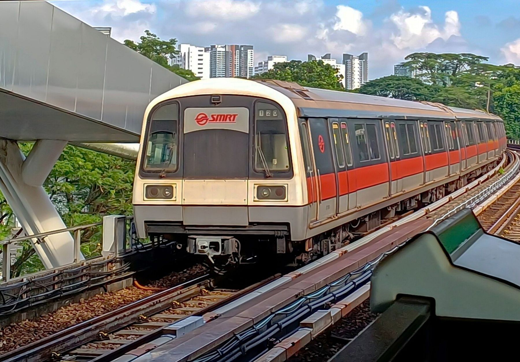
Two operators run the network, SMRT and SBS Transit, but for a passenger the system behaves as one. Interchanges are well signed, and the colour of the line follows you along the floor and walls. In a few towns in the north and east, small driverless light-rail loops (LRT) carry people from the main stations to the housing blocks around them.
The east-west green line is the one most visitors meet first, because a branch of it runs to Changi Airport. Most journeys from the city need a change at Tanah Merah.
How do you pay?
You tap in at the gate and tap out at the other end, and the fare is worked out by distance. There are no paper tickets to keep. The two common ways to pay are a stored-value transit card, sold and topped up at stations and convenience stores, and a contactless bank card or a phone with a card loaded on it. Overseas cards generally work at the gates, though your bank may add its own charges.
Fares, concession schemes and the exact card rules are revised from time to time, so we give no figures here. The ticketing machines and the operators' own pages show the current position. What does not change is the habit: use the same card or phone to tap in and out, and keep it handy, because the gate closes quickly behind the person in front.
Are the buses worth it?
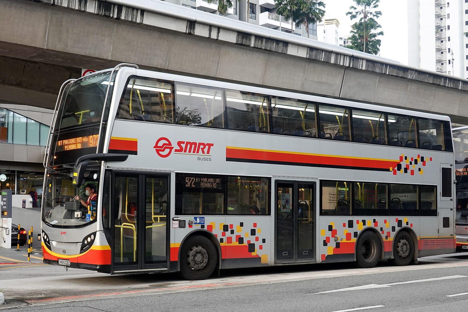
Yes, especially for short hops the train does awkwardly, such as from Orchard Road to Tiong Bahru or along the East Coast. Many routes use double-deckers, and the front seat upstairs is one of the best free views on the island. You board at the front, tap the reader, and tap again at the rear door when you leave; the same cards and phones work as on the MRT.
Each bus stop has a five-digit code on its sign. Map apps use these codes, and so do the arrival boards at many stops. Buses do not stop automatically: raise a hand as yours approaches, and press the bell before your own stop.
What about taxis and ride-hailing?
Taxis are metered, licensed and plentiful outside the rush hours and late-night changeovers. In the city centre a taxi may only pick up at a taxi stand or a building's own drop-off point, which is why you see orderly queues outside malls and hotels while empty cabs pass in the street. Further out, flagging one down is normal.
Ride-hailing apps are widely used and often quicker to summon in quiet areas. Both kinds of car add surcharges at certain hours, at the airport and in the city centre, and the rules shift; the meter or the app shows what applies. Most taxis accept cards. Seat belts are required for everyone in the car, front and back.
When should you avoid the trains?
Weekday mornings from about half past seven to half past nine, and evenings from about half past five, are when the lines into and out of the business district fill to the doors. The trains still move, but a visitor with luggage or a pushchair has a better time an hour either side.
 Next stall overThree days in Singapore: the river, the old quarters and the bay
Late at night the last trains leave the city around midnight, a little later on some lines and on the eve of public holidays. After that it is buses on a few night routes, taxis or ride-hailing. Inside the cars, eating and drinking are not allowed, and the reasons are explained in our piece on rules, fines and manners. Priority seats near the doors are for older passengers, pregnant women and anyone who needs them, and are given up without being asked.
Can you really walk in this heat?
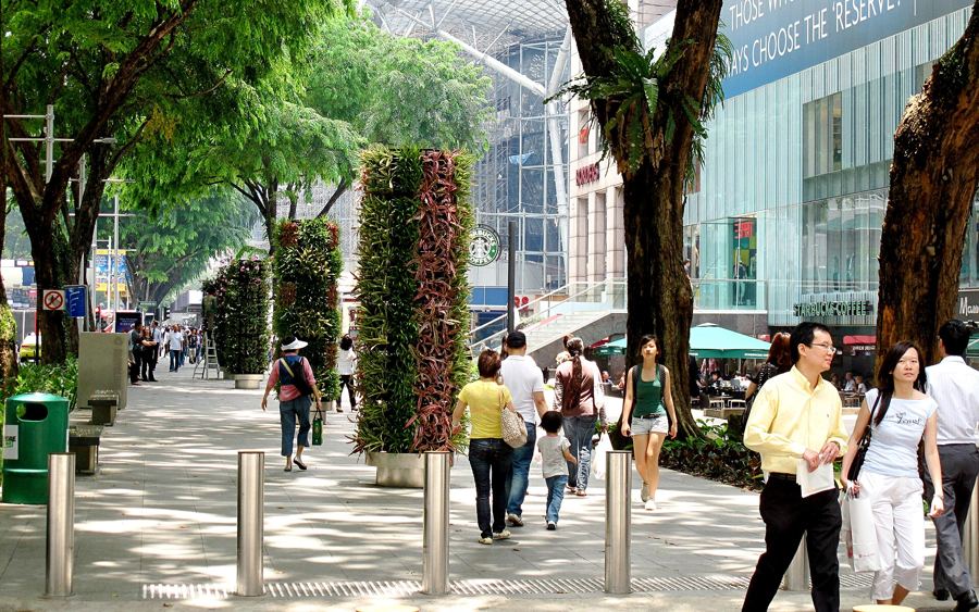
You can, with some planning. Singapore has spent decades building shade into its streets. Covered linkways run from almost every MRT exit to the nearest bus stops and housing blocks. In the business district and along Orchard Road, underground passages connect stations to malls and office towers, so it is possible to cover a surprising distance without stepping into the sun.
In the older quarters the shade is architectural. The five-foot way, the covered walkway in front of a shophouse, was written into the town's building rules in the nineteenth century, and in Chinatown or along Joo Chiat Road you can still walk from arcade to arcade. The idea is explained in shophouses, explained.
The rhythm that works is simple. Walk in the morning and after about five, ride in the middle of the day, and carry water. A short walk between two stations often shows you more than the train ride would.
Is cycling an option?
For leisure rather than commuting, often yes. The Park Connector Network links parks and waterways across the island with paved paths shared by cyclists, runners and walkers, and East Coast Park has a long seaside track. Shared-bicycle schemes come and go, so check what is running when you arrive. On ordinary roads, traffic is fast and drives on the left, and most visitors are better off on the paths.
Which station signs should you learn first?
Learn the exit letters. Large stations have many exits, labelled A, B, C and so on, and the board at the top of the escalator names the streets and buildings each one reaches. Choosing the right exit can save ten minutes of walking in the sun. The ground-level signs that point back to stations, a dark green panel with the yellow MRT symbol and a distance in metres, are just as useful when you are lost in a side street.
Then learn three interchanges: Dhoby Ghaut, City Hall and Outram Park. Between them they connect most of what a short visit needs, from the museums of Bras Basah to Chinatown and the Marina Bay waterfront. After a day of using them, the map stops looking like a diagram and starts looking like a city.